TrakMaps Charts Trois-Rivieres to Quebec city

Product Code: 0600175
Sale Price CAD $48.99
Online Availability
Availability: In stock
Map of the St Lawrence River from Trois-Rivières to Quebec City with bathymetry (depth) and surrounding topography represented in colourful 3D. Includes buoy localization, nautical safety tips, guidelines and navigational information. The TRAK Nautical Atlas is convenient and practical for boaters with Its laminated pages in an easy to handle size. Format :Laminated booklet (12 pages, spiral binding) Scale of 1:40000
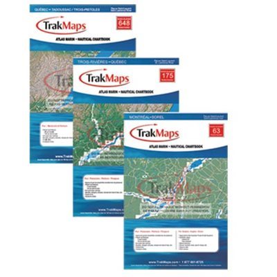
  • Manufacturer's number : TRK 175
  • Dimension : 12 x 18
  • Area : Trois-Rivieres to Quebec
175

Substitute Products

List of suggested products: Substitute Products.
CHS Chart Lake Saint-Pierre
Sale Price CAD $20.00
Availability: In stock
CHS Chart Batiscan / Lake Saint-Pierre
Sale Price CAD $20.00
Availability: In stock
TrakMaps Quebec / Tadoussac
Availability: Special Order, Call us!
Richardson Hudson River Chart Book
Sale Price CAD $128.95
Availability:
Pre-Order The product is out of stock, you can pre-order it, delays may apply.
Our website requires cookies to enhance your online browsing experience. For example, these cookies allow you to save products in your shopping cart, even when you’re not logged into your account. These cookies are crucial for ensuring the website functions correctly.