TrakMaps Rideau Canal KINGSTON OTTAWA

Product Code: 0600614
Sale Price CAD $64.99
Online Availability
Availability: In stock

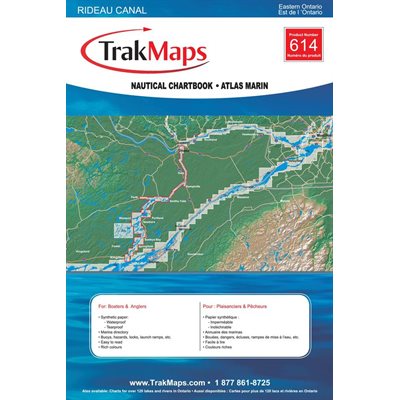
Nautical Chartbook of Rideau Canal: Kingston - Ottawa in Quebec (Ontario). Printed on waterproof and tear-proof paper at a scale of 1:25,000. Perfect for fishing, boating and ice fishing. 32 pages


  • Bathymetry
  • Navigation aids
  • Navigation hazards
  • Tracks, Routes
  • Main roads
  • Canals
  • Locks
  • Marshes
  • Marinas
  • Launch ramps
  • Marina directory
  • Camping sites
  • Picnic sites
  • Printed on waterproof and tear-proof synthetic paper
614

Substitute Products

List of suggested products: Substitute Products.
CHS Chart Cap aux Oies / Sault-au-Cochon
Sale Price CAD $20.00
Availability: In stock
CHS Chart Île du Bic to Cap de la Tête au Chien
Sale Price CAD $20.00
Availability: In stock
CHS Chart Cap de la Tête au Chien to Cap aux Oies
Sale Price CAD $20.00
Availability: In stock
Richardson's Chart Book for Lake Ontario
Original Price CAD $148.55
Sale Price CAD $133.50
11% rebate
Availability: In stock
Our website requires cookies to enhance your online browsing experience. For example, these cookies allow you to save products in your shopping cart, even when you’re not logged into your account. These cookies are crucial for ensuring the website functions correctly.