TrakMaps Chart Tadoussac-Chute-à-Caron

TRAK
TRAK
Product Code: 0604751
Sale Price CAD $59.99
Online Availability
Availability: In stock
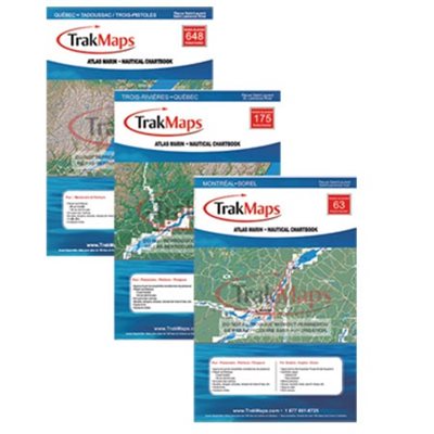
Full colour map with bathymetry (depth) and surrounding topography represented in colourful 2D. The atlas includes information on marinas, services and navigational safety rules found on the river. The TRAK Nautical Atlas is convenient and practical for boaters with Its laminated pages in an easy to handle size. Format : Laminated booklet ( 20 pages, spiral binding)
  • Manufacturer's number : TRK 751
  • Dimension : 12 x 18
  • Area : Saguenay River
751

Substitute Products

List of suggested products: Substitute Products.
CHS Chart Cap de la Tête au Chien to Cap aux Oies
Sale Price CAD $20.00
Availability: In stock
CHS Chart Île du Bic to Cap de la Tête au Chien
Sale Price CAD $20.00
Availability: In stock
Richardson Hudson River Chart Book
Original Price CAD $128.95
Sale Price CAD $112.95
13% rebate
Availability: In stock
CHS Chart Chaleur Bay - South shore
Sale Price CAD $20.00
Availability: In stock
Our website requires cookies to enhance your online browsing experience. For example, these cookies allow you to save products in your shopping cart, even when you’re not logged into your account. These cookies are crucial for ensuring the website functions correctly.