- ENGINE AND BOAT SALES
-
NAUTICAL PRODUCTS
- Inflatable boats
-
Boat Hardware
Boat Hardware
- Blocks and organizers
- Cleats, Cam Cleats and Clutches
- Clinometers
- Fairleads and Eye Straps
- Knives and accessories
- Maintenance and repair
- Running Rigging Ropes
- Sail Furlers
- Shackles and Snap Hooks
- Spinaker poles and Bowsprits
- Stainless steel cables accessories
- Tiller brakes and extensions
- Tracks and travellers
- Turbuckles, Clevis and Cotter pins
- Winches and accessories
- Wind indicators
- Comfort
-
Electrical
Electrical
- Alternators and regulators
- Electrical Distribution
- Exterior lighting and spotlights
- Interior lighting
- Inverters and chargers
- Marine Batteries, selectors and monitors
- Marine Navigation lights
- Navigation light bulbs
- Shore power cords and power inlets
- Solar Panels and Fuel Cells
- Tinned Wires 12V and 120V
- Wire and battery terminals
-
Electronics
Electronics
- GPS, Multifonction Network displays and Chartplotters
- AIS transponders and receivers
- Below deck autopilots
- Cockpit Autopilots
- Electronic charts and softwares
- Fishing Trolling Motor
- Fixed mount VHF radio
- Handheld VHF radio
- Navigation instruments, Depth, Speed and Wind
- NMEA 2000 Network and Cables
- Radars
- Sound systems and speakers
- Transducers depth and fishing
- VHF and TV antennas
- Engine
- Hardware
-
Maintenance
Maintenance
- Finishing and antifoulling paints
- Non Skid Paint and Anti-Slip Deck Covering
- Epoxy Resins and fiber accessories
- Marine cleaners
- Waterproofing and Treatment Products
- Finishing compounds and waxes
- Varnish, Teak Oil and Teak Cleaner
- Gelcoat restoration
- Sealants and adhesives
- Painting and Maintenance Supplies
- Synthetic deck
- Marine Clothing
- Mooring and docking
- Navigation
- Plumbing
- Safety
- Sports and Entertainment
- WATERSPORT STORE
- MARINE CLOTHING
- BLYACHT STORE
- SALES & NEW PRODUCTS
- LIQUIDATIONS
- Boulet Lemelin Yacht>
- Brands>
- RICHARDSON>
- Navigation>
- Marine charts>
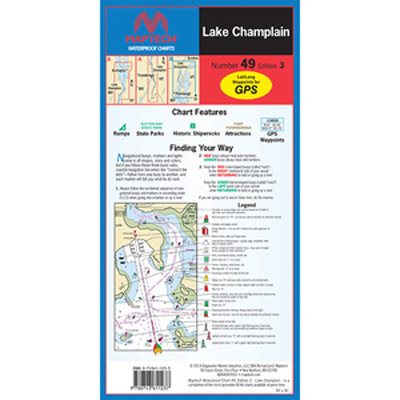
- Lake Champlain Waterproof Chart
Lake Champlain Waterproof Chart
Product Code: 0600049
Whitehall, NY to the Richelieu River, Quebec. Featuring GPS Waypoints, state parks, ramp locations and information, and VT/NY border. 24" x 36", scale 1:57,000 with insets.
- Availability: In stock
- Manufacturer's number : WPC049


